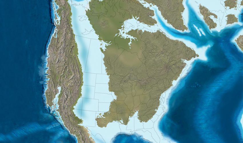
By Late-Cretaceous times, Eurasia and the Americas had separated along the south Atlantic and subduction on the west coast of the Americas had commenced, resulting in the Laramide orogeny, the early phase of growth of the modern Rocky Mountains. The Western Interior Seaway may be seen as a downwarping of the continental crust ahead of the growing Laramide/Rockies mountain chain.[1]
The earliest phase of the Seaway began in the mid-Cretaceous period when an arm of the Arctic Ocean transgressed south over western North America; this formed the Mowry Sea, so named for the Mowry Shale, an organic-rich rock formation.[1] In the south, the Gulf of Mexico was originally an extension of the Tethys Sea. In time, the southern embayment merged with the Mowry Sea in the late Cretaceous, forming the “complete” Seaway, creating isolated environments for land animals and plants.[1]
Relative sea levels fell multiple times, as a margin of land temporarily rose above the water along the ancestral Transcontinental Arch,[2] each time rejoining the separated, divergent land populations, allowing a temporary mixing of newer species before again separating the populations.
At its largest, the Western Interior Seaway stretched from the Rockies east to the Appalachians, some 1,000 km (620 mi) wide. At its deepest, it may have been only 800 or 900 metres (2,600 or 3,000 ft) deep, shallow in terms of seas. Two great continental watersheds drained into it from east and west, diluting its waters and bringing resources in eroded silt that formed shifting delta systems along its low-lying coasts. There was little sedimentation on the eastern shores of the Seaway; the western boundary, however, consisted of a thick clastic wedge eroded eastward from the Sevier orogenic belt.[1][3] The western shore was thus highly variable, depending on variations in sea level and sediment supply.[1]
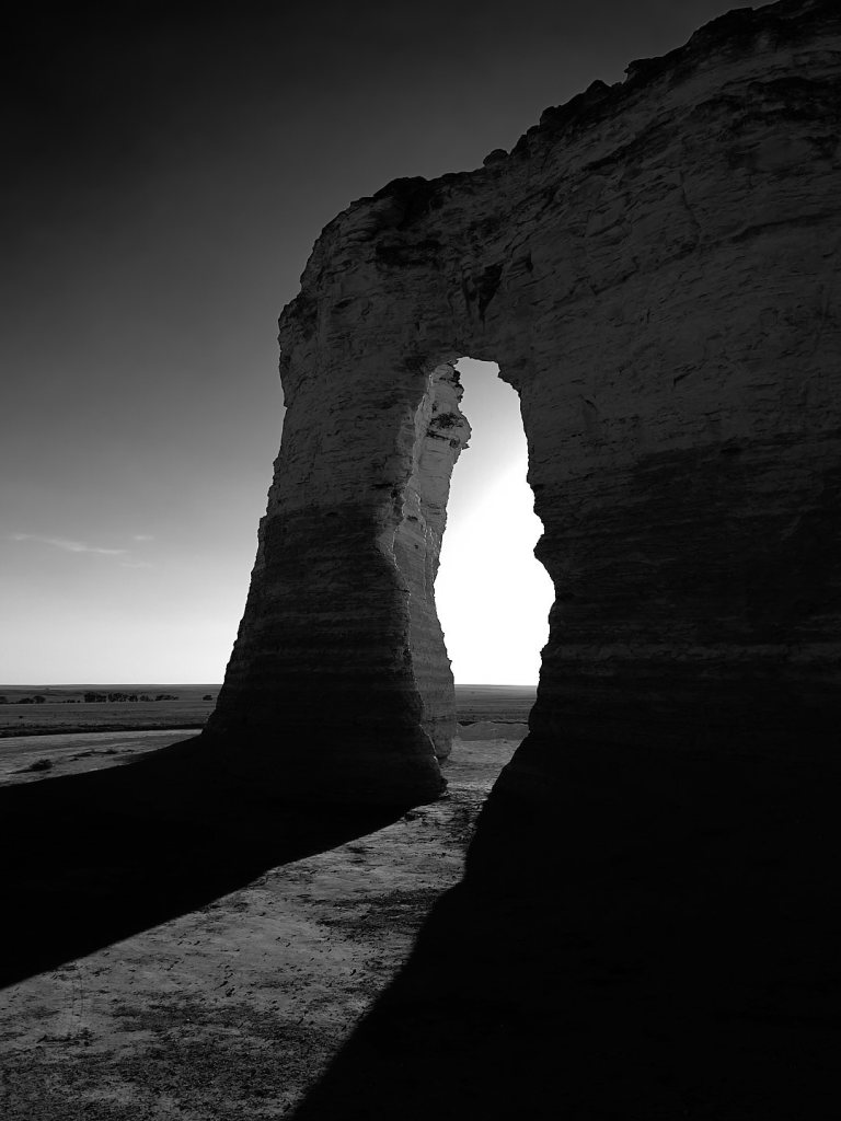
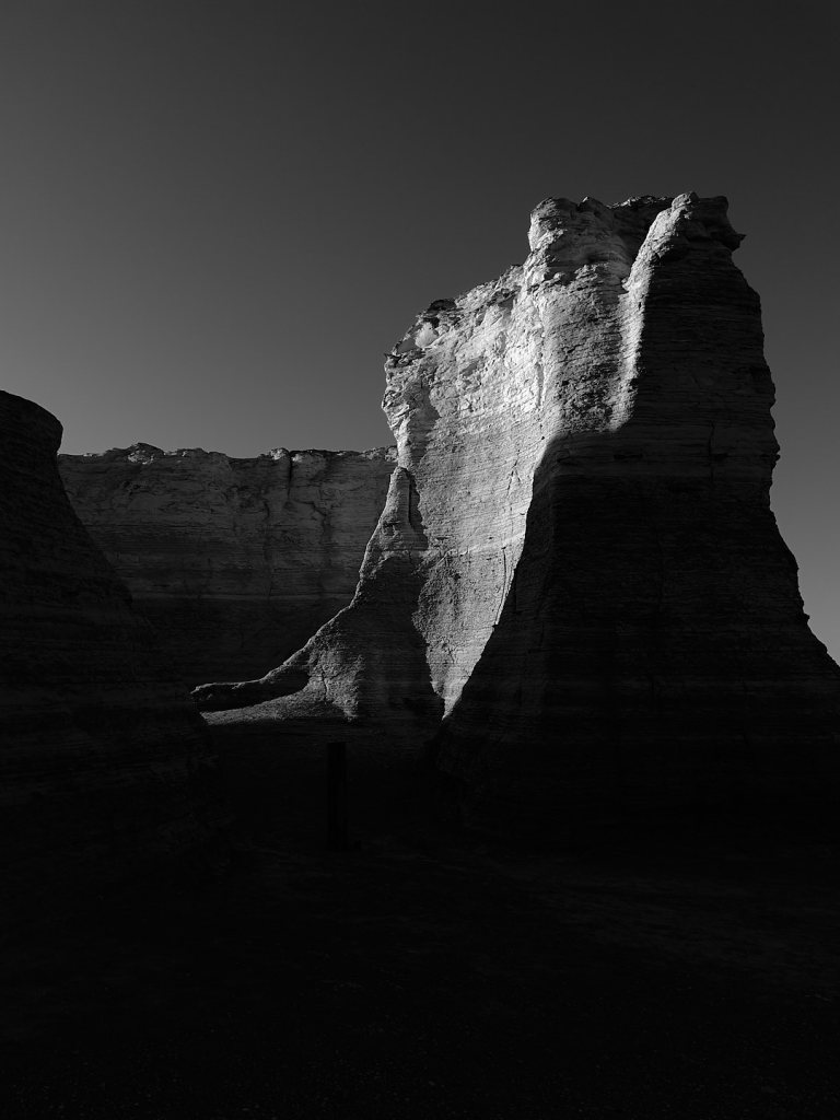
Widespread carbonate deposition suggests that the Seaway was warm and tropical, with abundant calcareous planktonic algae.[4] Remnants of these deposits are found in northwest Kansas. A prominent example is Monument Rocks, an exposed chalk formation towering 70 feet (21 m) over the surrounding range land. It is designated a National Natural Landmark and one of the Eight Wonders of Kansas. It is located 25 miles (40 km) south of Oakley, Kansas.[5]