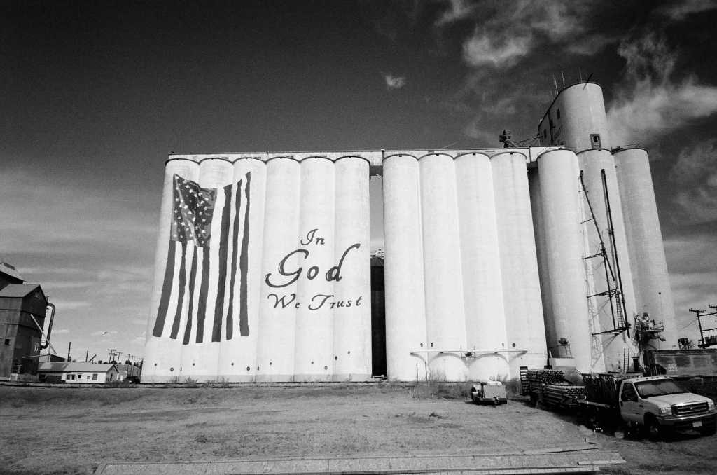
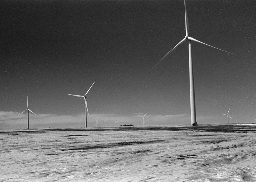
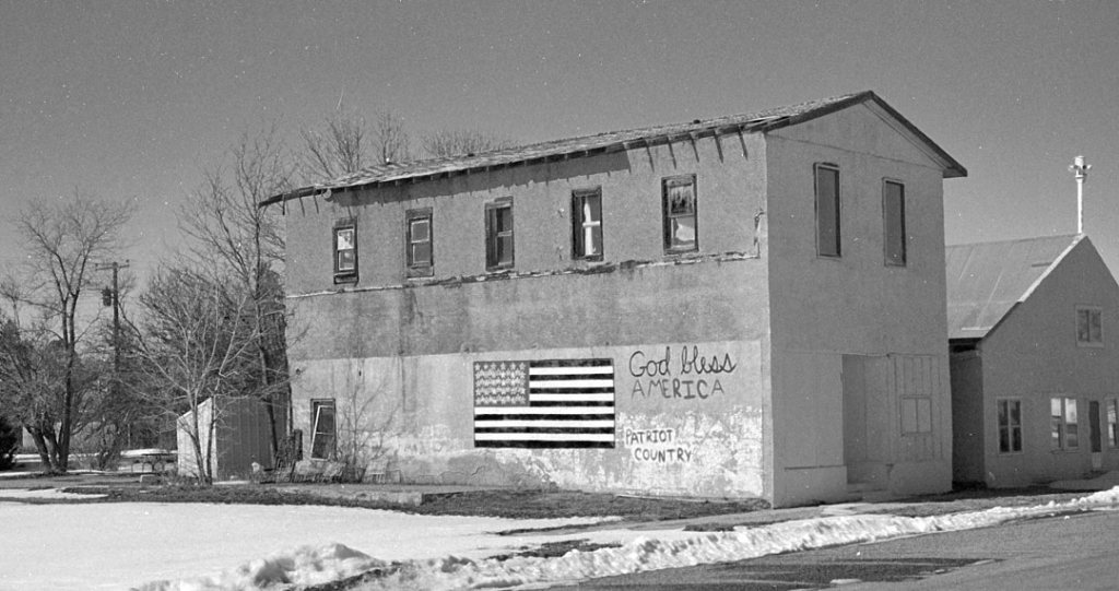
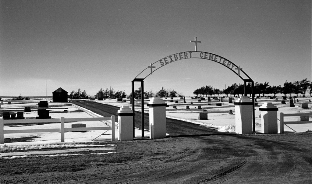
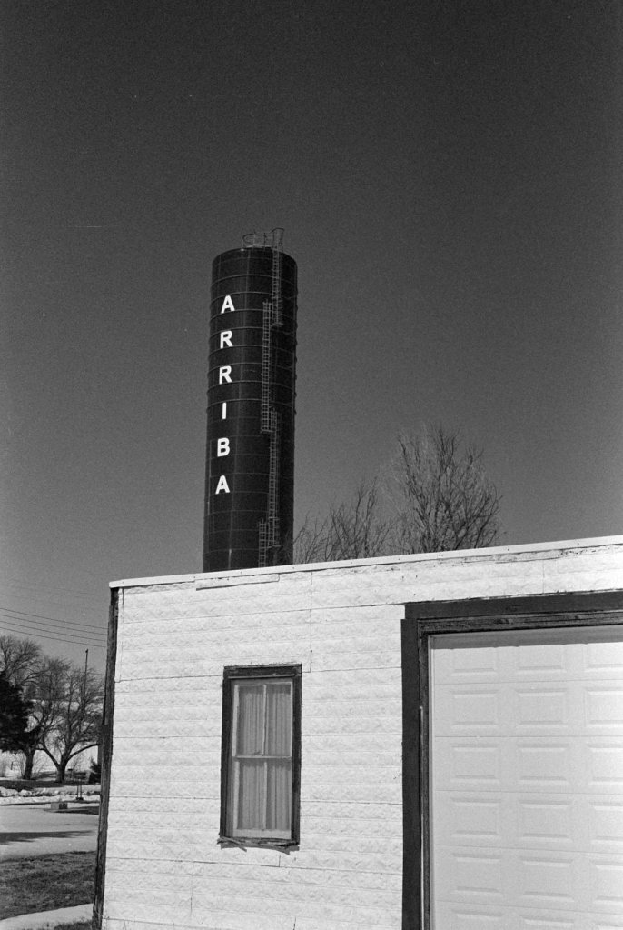
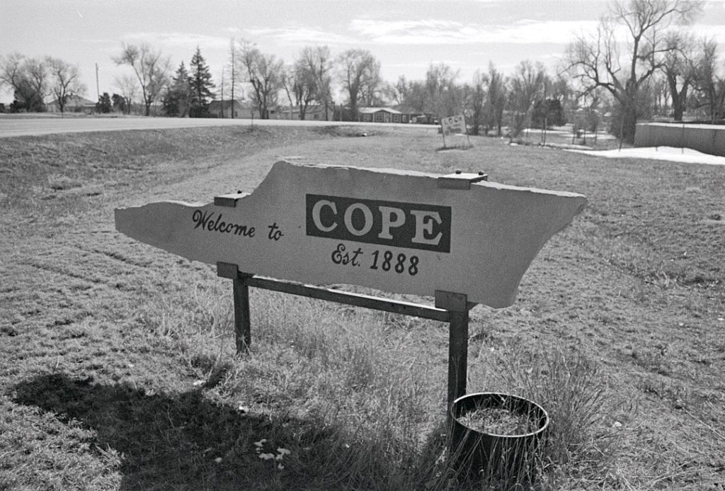
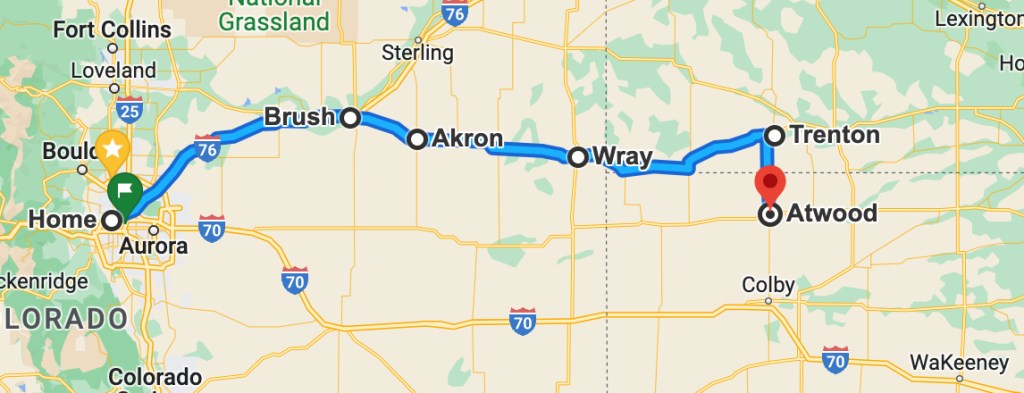
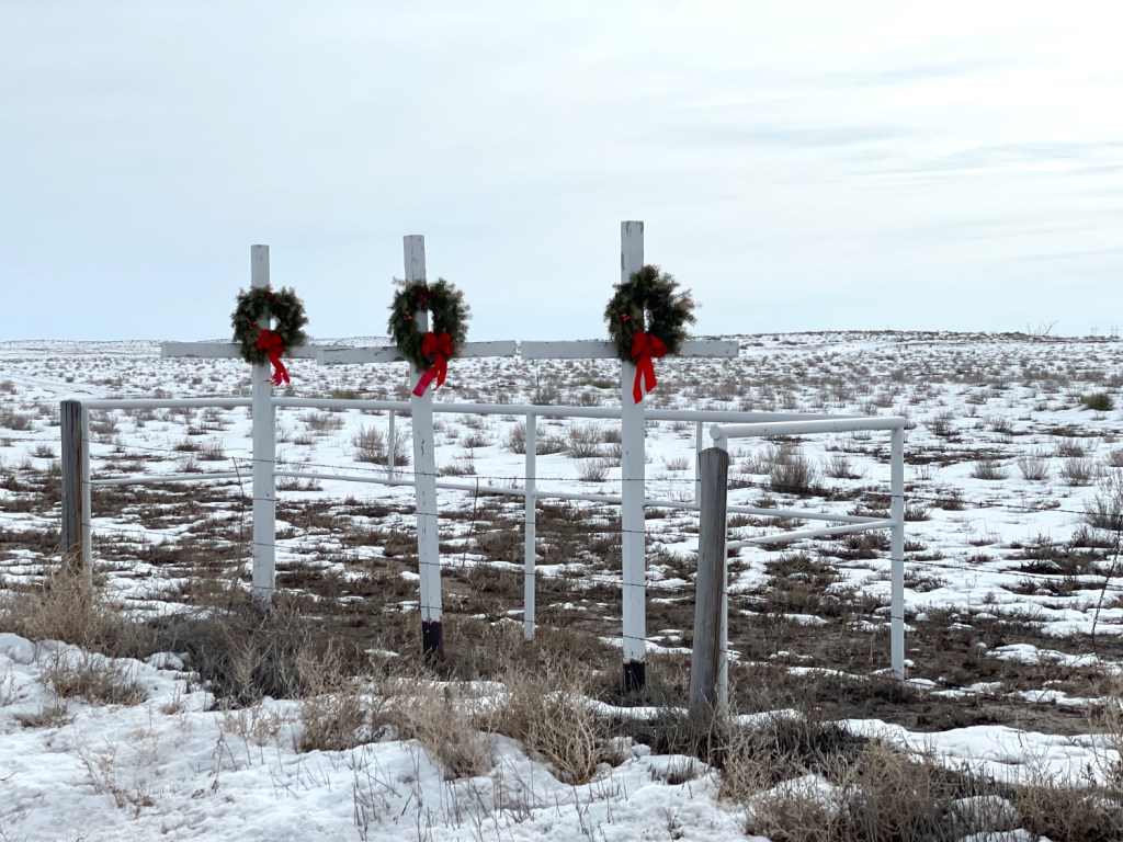
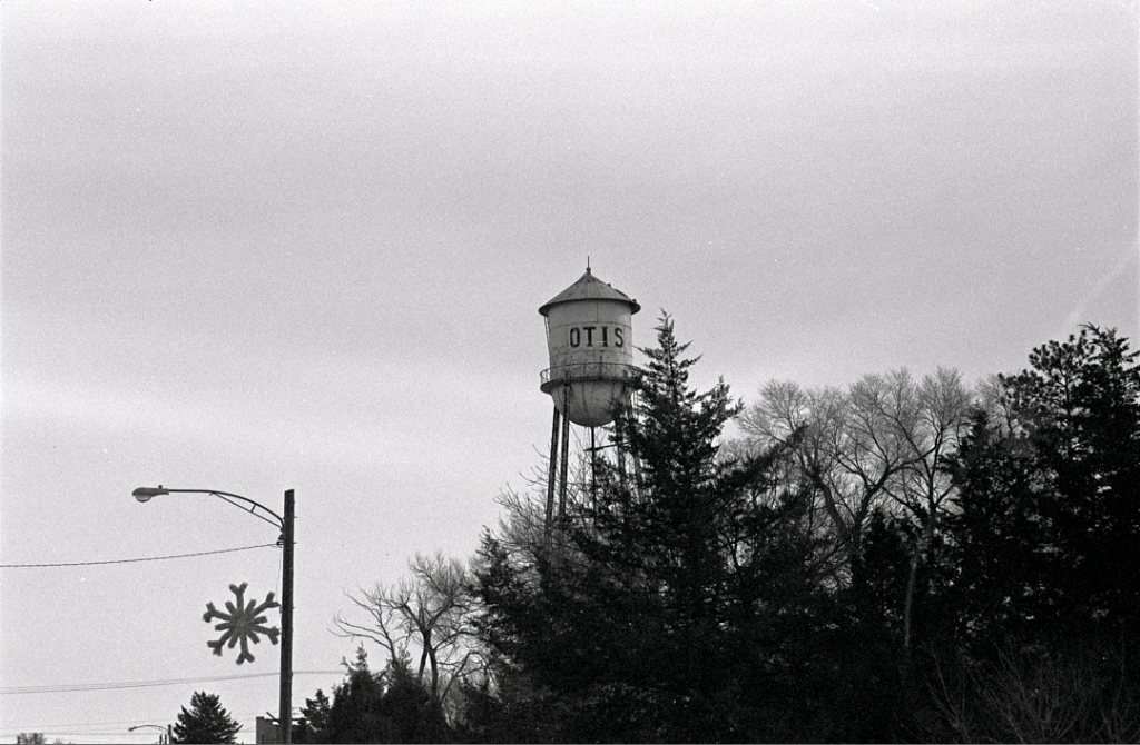
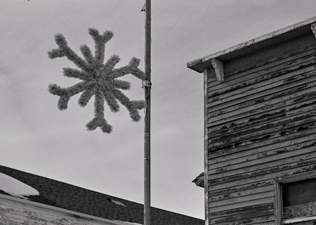
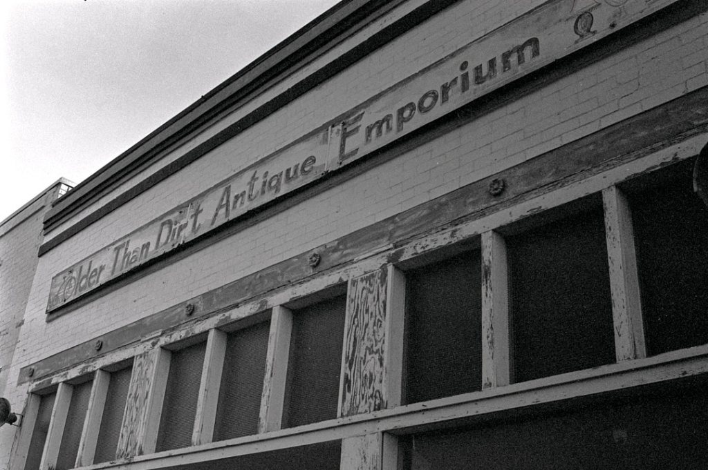
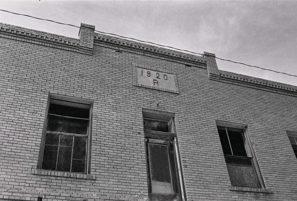
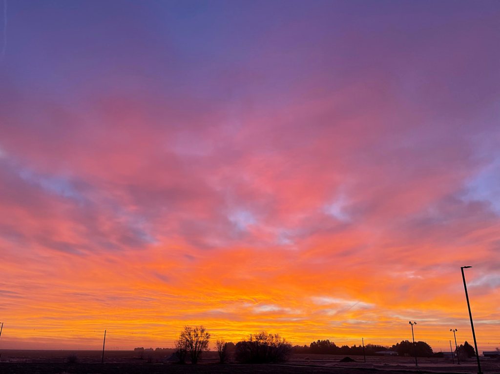
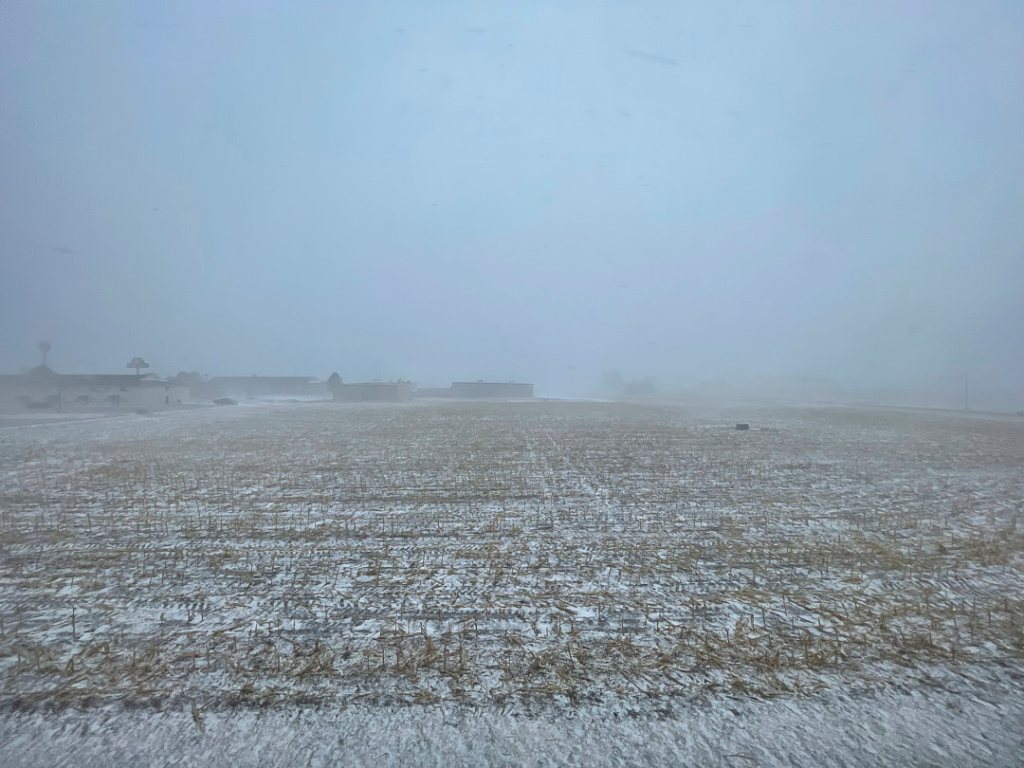
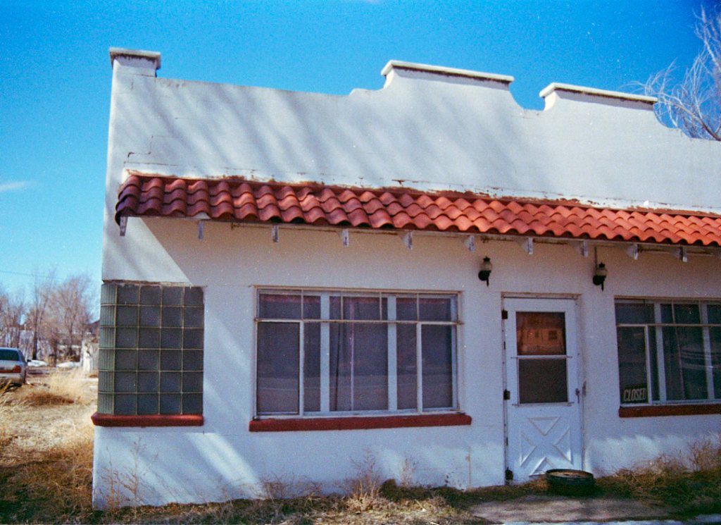
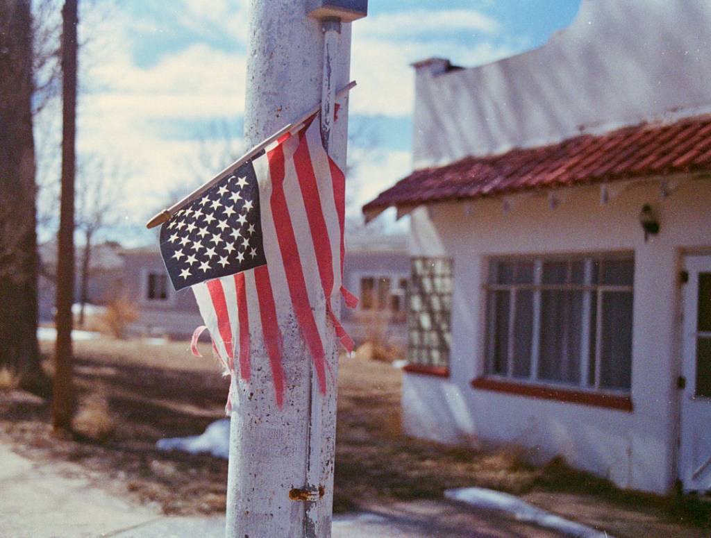
I never get tired of going out there to drive slowly through the preserve to see what there is roaming around. Today I got up early to be there as soon as the gate open which is sunrise 6:45 am today.There were at least 20 cars waiting to get in. It was cold out with the temp at about 20degF when I left the house and only 12 when I got to the preserve.
Talk about welcoming – their welcome center west of Goodland, KS was open on a Sunday, staffed with a nice person, free coffee ( I didn’t partake as this is why I had to make an urgent stop there in the first place). Oddles of pamphlets.
By Late-Cretaceous times, Eurasia and the Americas had separated along the south Atlantic and subduction on the west coast of the Americas had commenced, resulting in the Laramide orogeny, the early phase of growth of the modern Rocky Mountains. The Western Interior Seaway may be seen as a downwarping of the continental crust ahead of the growing Laramide/Rockies mountain chain.[1]
The earliest phase of the Seaway began in the mid-Cretaceous period when an arm of the Arctic Ocean transgressed south over western North America; this formed the Mowry Sea, so named for the Mowry Shale, an organic-rich rock formation.[1] In the south, the Gulf of Mexico was originally an extension of the Tethys Sea. In time, the southern embayment merged with the Mowry Sea in the late Cretaceous, forming the “complete” Seaway, creating isolated environments for land animals and plants.[1]
Relative sea levels fell multiple times, as a margin of land temporarily rose above the water along the ancestral Transcontinental Arch,[2] each time rejoining the separated, divergent land populations, allowing a temporary mixing of newer species before again separating the populations.
At its largest, the Western Interior Seaway stretched from the Rockies east to the Appalachians, some 1,000 km (620 mi) wide. At its deepest, it may have been only 800 or 900 metres (2,600 or 3,000 ft) deep, shallow in terms of seas. Two great continental watersheds drained into it from east and west, diluting its waters and bringing resources in eroded silt that formed shifting delta systems along its low-lying coasts. There was little sedimentation on the eastern shores of the Seaway; the western boundary, however, consisted of a thick clastic wedge eroded eastward from the Sevier orogenic belt.[1][3] The western shore was thus highly variable, depending on variations in sea level and sediment supply.[1]
Widespread carbonate deposition suggests that the Seaway was warm and tropical, with abundant calcareous planktonic algae.[4] Remnants of these deposits are found in northwest Kansas. A prominent example is Monument Rocks, an exposed chalk formation towering 70 feet (21 m) over the surrounding range land. It is designated a National Natural Landmark and one of the Eight Wonders of Kansas. It is located 25 miles (40 km) south of Oakley, Kansas.[5]
Every year from about late August thru October on the plains of Southern Colorado you can witness the annual Tarantula migration. We go to LaJunta, Colorado and then drive south on Highway 109 towards Kim, Colorado. This year we were more successful in seeing the critters by getting off the asphalt and looking for them along the dirt roads and on hiking trails.
What this is all about is 8 year old males ( brown back Texas or Oklahoma variety) go in search of a mate who live in burrows. The female normally would be happy to just eat the males but when the males grow to 8 years of age they grow a special appendage on the their front legs that they can use to fend off an attack and mate at the same time.
Female tarantulas are known to live upwards of 20 years. Males not so much. Once they mate they go back out in the open where they are prey to the Tarantula Hornet and the cold. Most of the males die within several months of the mating
This year we saw 4 tarantulas and 1 T-Hornet. So I would say we did well for ourselves.
This trip out to Kansas I took my point and shoot digital infrared camera. The trip out was in cloudy weather so not the perfect weather for IR. The top two photos are from
Flagler is on I 70 and has a few interesting sites in town. I have not eaten at the diner but one of these days when I have more time! Flagler is where Hal Borland the author grew up. He is the author of several books about living life on the plains. His most famous book in this genre is ” High, Wide and Lonesome”
On the way back from Kansas on I-70 I was confronted with some amazing Cloudburst imagery. These were shot from the car on an iPhone and then taken into BW as this is the more dramatic presentation. “We” are in the monsoon season here which is when you will see rain shafts and cloud bursts. Growing up in Colorado I just thought this was typical for summer. Later on I was introduced to the concept of a Monsoon. While not like they have in SE Asia it apparently still fits the definition
Once you come across the state like near Cope, Colorado is St. Francis. They have a motorcycle museum and then north of the town is the Arikaree Breaks in Cheyenne County. The day was already getting long and it was all of 100 deg F so I put off going to the Breaks to hike.